THE LEAVES, THEY ARE CHANGIN’
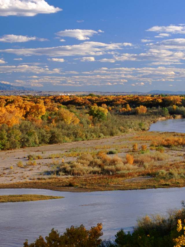
In the fall, New Mexicans and their visitors rejoice as the aspen’s quaking leaves turn their vibrant shade of gold. Now is the ideal time to witness this gilded spectacle throughout New Mexico’s high country, but you’d better get on your horse because timing is everything — the color is fleeting, lasting only about a week in most places. Unfortunately, it's difficult to predict when exactly the leaves will turn in any given location. The best strategy: select your travel dates in advance, but not your destination. Then go wherever the color is.
We’ve included a few road-tripping routes below that have become fall-color pilgrimages for aspen lovers, but if your favorite jaunt is not included, be grateful: You’ll have it all to yourself.
Enchanted Circle Scenic Byway
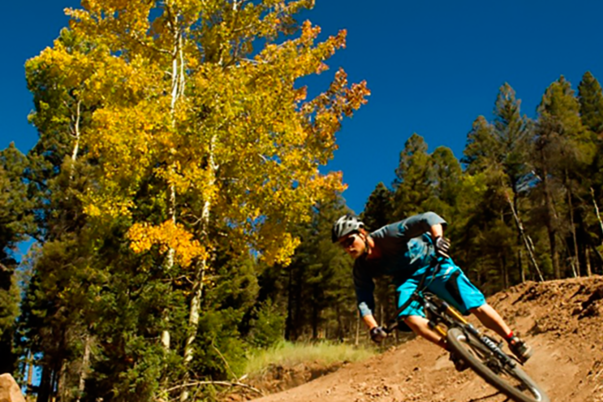
The Enchanted Circle Scenic Byway: Taos, Questa, Angel Fire, Eagle Nest, and every stop in between, including Cabresto Lake, Mallette Canyon, and Midnight Meadows above Questa; Bobcat Pass above Red River, which descends into the high-alpine Moreno Valley, home of Angel Fire and Eagle Nest Lake and bounded by some of the most spectacular peaks in New Mexico; and Taos Canyon, between Angel Fire and Taos, filled with bike and hiking trails for those hearty souls who like to see their color up close. Visit the Enchanted Circle Scenic Byway page.
Sunspot Scenic Byway
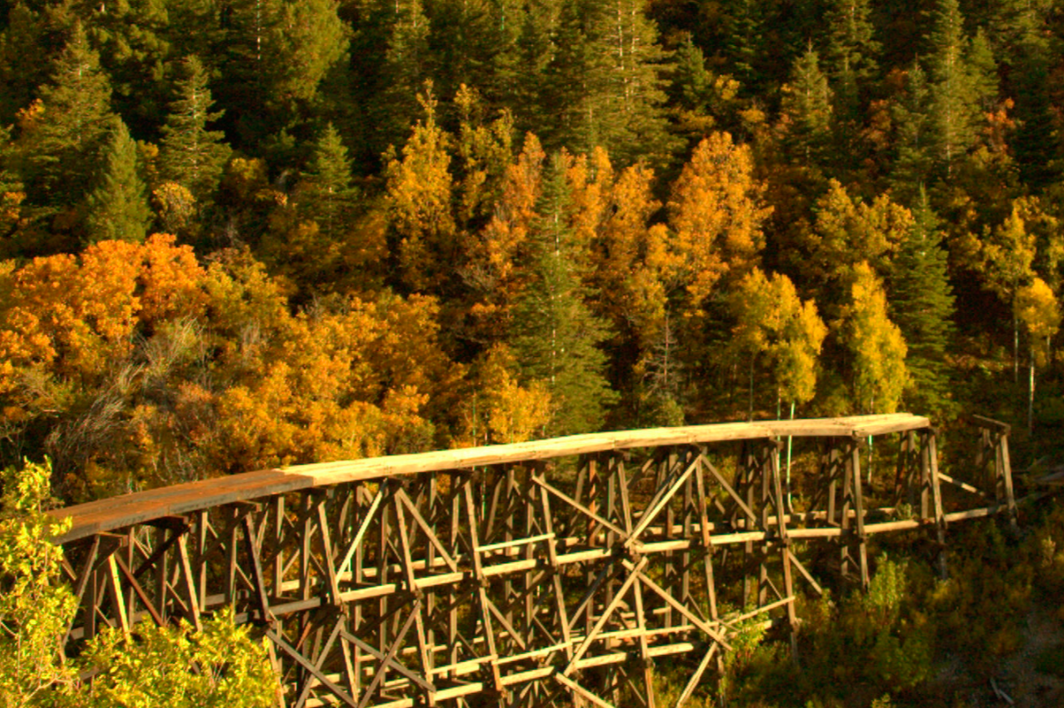
Beginning at Cloudcroft, this 16-mile ribbon of asphalt, surrounded by aspens, winds south along the Sacramento Mountains. It ends in Sunspot, an apt name for a village with two famed national telescope observatories. To reinforce its connection to research of the heavens, the byway is designated State Road 6563, the light wavelength in Angstroms used by scientists to find active areas on the sun. Most visitors return via the same route to Cloudcroft, but it is possible to continue on south through the Lincoln National Forest to the small ranching community of Timberon. And don’t forget to take a side trip up Ruidoso. Ponderosa pines may be the main attraction, but they also make the aspen easier to spot. Visit the Sunspot Scenic Byway page.
Santa Fe National Forest Scenic Byway
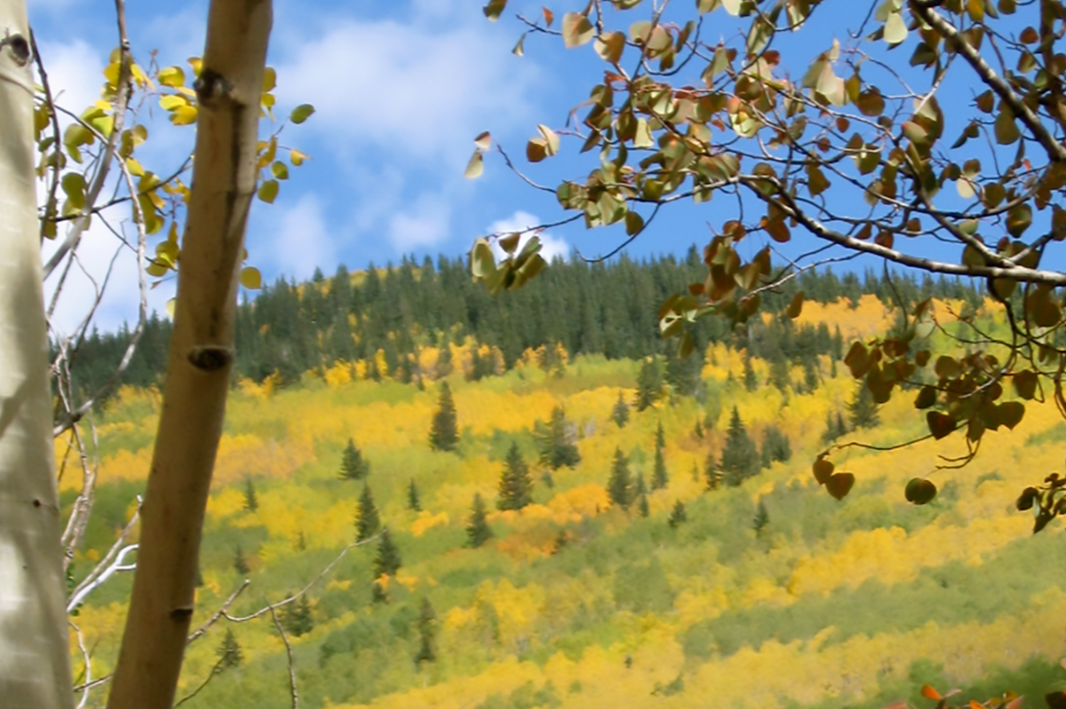
Where else can one shop for handmade Native American crafts under the shady portal of a 17th-century Spanish adobe capitol in the morning, then venture into a 13,000-foot aspen filled alpine wilderness that afternoon? When the aspen leaves burst into fiery gold and crimson in late September, the hillsides between Hyde Memorial State Park and Ski Santa Fe take on an almost ethereal, shimmering aura when angled sunlight filters through the quaking leaves. Visit the Santa Fe National Forest Scenic Byway Scenic Byway page.
Jemez Mountain Trail Scenic Byway
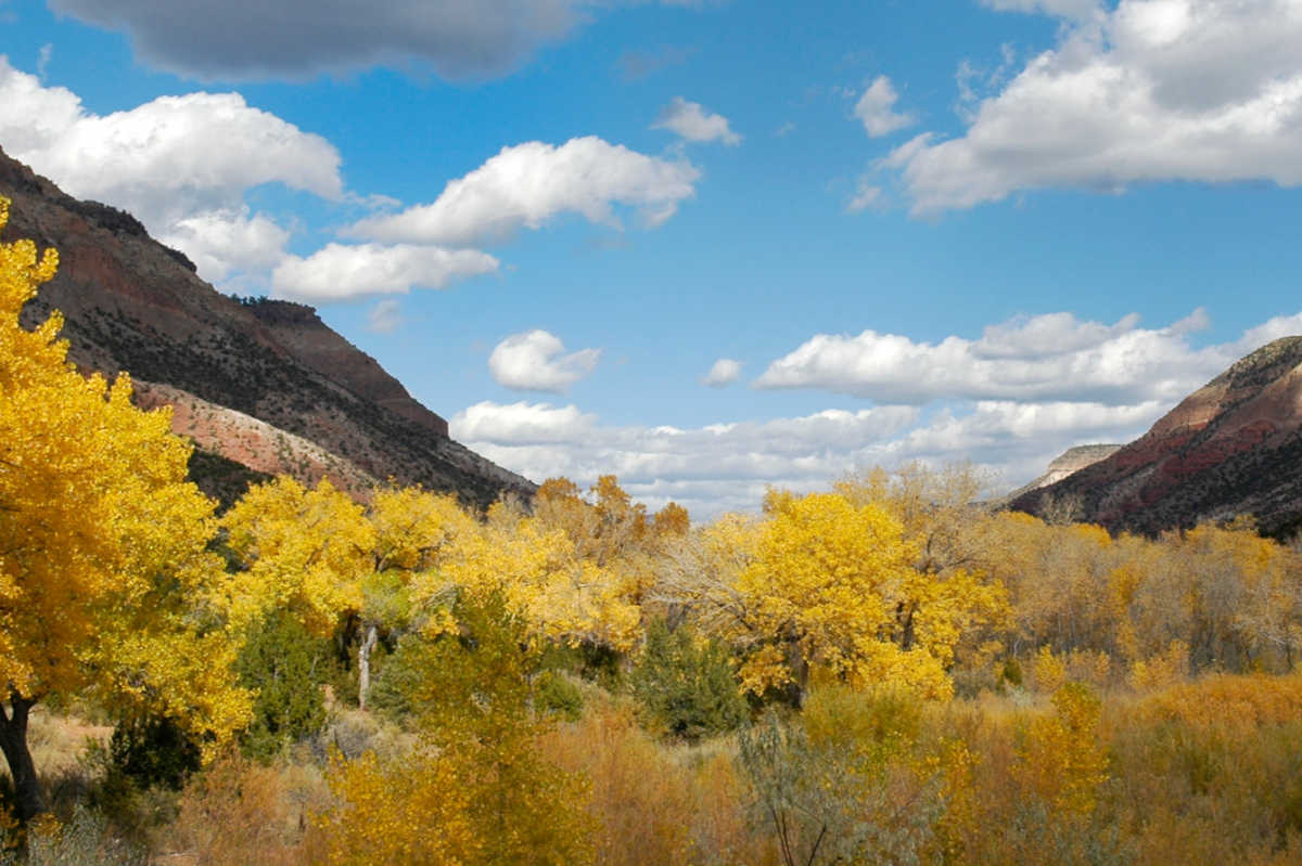
Bubbling hot springs, vermillion desert cliffs, and alpine peaks surround visitors driving from a million-year-old volcano caldera to 13th-century Native dwellings to a museum showcasing the birth of the atomic age along the Jemez Mountain Trail. The 66-mile byway begins at the junction of U.S. 550 and State Road 4 northwest of Bernalillo in the pastoral village of San Ysidro, named for the patron saint of farmers. Make the whole loop: It makes a delightful day’s jaunt. Visit Jemez Mountain Trail Scenic Byway page.
The High Road to Taos Scenic Byway
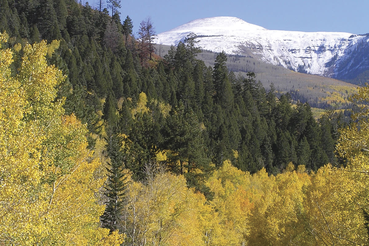
The High Road to Taos Scenic Byway takes the traveler through an authentic remnant of Old Spain, still evident in the religion, architecture, topography, history, and people along the route. Be sure to stop at the US Hill pullout (State Road 518), which provides a view of the Carson Forest in all its grandeur, with Wheeler Peak towering above it. Visit the High Road to Taos Scenic Byway page.
Sandia Crest Scenic Byway
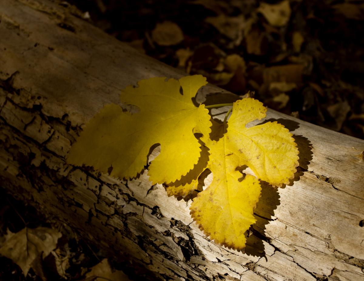
The Sandia Crest Byway, incorporated into the Turquoise Trail National Scenic Byway, is a mile above the surrounding countryside and two miles above sea level. The all-weather, paved Sandia Crest Highway (State Road 536) is the highest scenic drive in the southwest. Part of the Cibola National Forest, the Sandia Mountains are home to Rocky Mountain bighorn sheep, mule deer, black bear, and some of the prettiest fall colors found anywhere. Stay to enjoy the sunset and the incredible night view of the city lights and starry skies. Visit the Turquoise Trail National Scenic Byway page.
U.S. 64 Taos to Chama
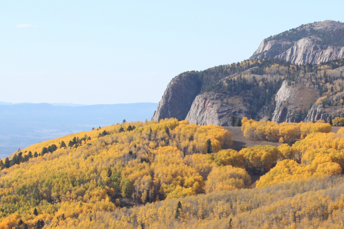
Traveling U.S. 64 across the Carson National Forest between Taos and Chama, through Tres Piedras and Tierra Amarilla, is an adventure most of the year — particularly when the winter snows hit — but the beginning of fall is best, when the air is cool, the colors incredible, and the traffic minimal. The view of Brazos Cliffs is spectacular, so stop often, and plan to take the whole day. You’re going to need it. Visit the Chama City Page.
